


Best GPS Tracker for Hiking – Top 5 Picks for Trail Safety
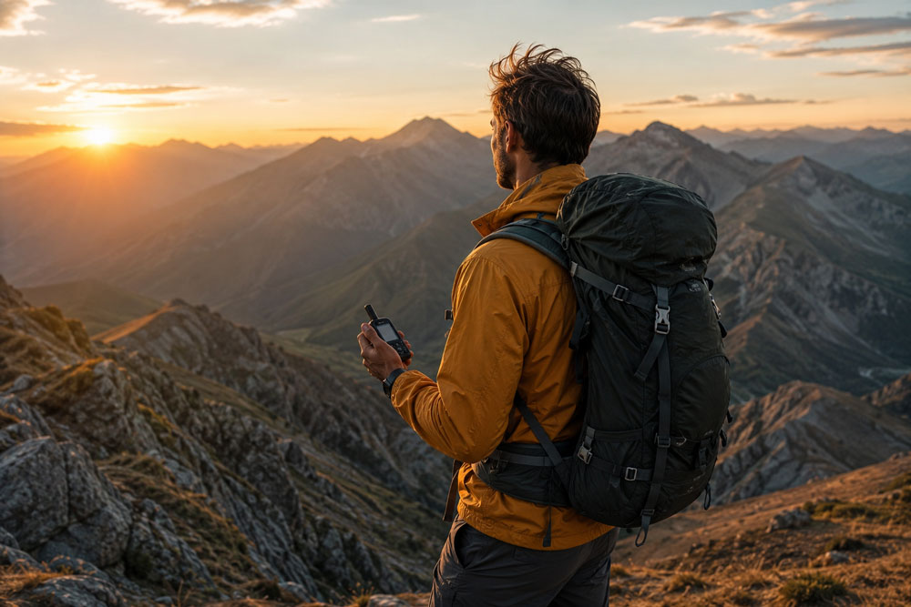
Best GPS Tracker for Hiking — Top 5 Trail Picks
By MototechGPS Team · Updated April · 11 min read
Every year in the US, thousands of hikers require search and rescue assistance — many because they could not communicate their location when something went wrong. A GPS tracker for hiking is not about tracking your route for fun. It is about having a lifeline when your phone has no signal, when weather turns, or when injury leaves you stranded miles from the trailhead.
Cellular vs Satellite — The Most Important Decision
🏆 Top 5 Hiking GPS Trackers — Quick Picks
- 🥇 Garmin inReach Mini 2 — Best Overall · Global satellite · SOS · Two-way messaging
- 🥈 Family1st Portable GPS — Best Cellular Hiking Tracker · 14-day battery · Real-time 4G
- 🥉 SPOT Gen4 — Best Budget Satellite · One-way SOS · $150 device · Low annual fee
- 🏅 Garmin GPSMAP 67i — Best Navigation + SOS · Full topo maps · Satellite messaging
- 🏅 Bouncie GPS — Best for Car Safety on Hiking Road Trips · OBD tracker · Get here →
Top 5 GPS Trackers for Hiking in
Garmin inReach Mini 2
The Garmin inReach Mini 2 is the gold standard for hiking safety in. It uses the Iridium satellite network — the same system used by the US military — to provide truly global two-way communication and a 24/7 monitored SOS button that works anywhere on Earth, including the most remote canyons, mountain ranges, and backcountry wilderness areas in the US.
After months of testing across diverse hiking conditions, the Garmin inReach Mini 2 emerged as the clear winner for most hikers — its perfect balance of compact size, reliable satellite communication, and intuitive operation makes it the gold standard of hiking safety devices. When you press the SOS button, it connects directly to GEOS International Emergency Response Coordination Center 24/7, who dispatches search and rescue with your exact GPS coordinates — even if you are unconscious and cannot communicate details.
- ✓ Works anywhere on Earth — satellite
- ✓ 24/7 monitored SOS button
- ✓ Two-way messaging without cell signal
- ✓ Pairs with Garmin GPS watches
- ✓ Weather forecasts via satellite
- ✓ Only 3.5 oz — ultralight
- ✗ High device cost (~$400)
- ✗ Monthly subscription required
- ✗ No detailed topographic maps
Best for: Any hiker going into remote backcountry, international trails, or areas with no cellular coverage. The one device every serious hiker should carry.
Family1st Portable GPS Tracker
The Family1st Portable GPS Tracker was tested on multiple hiking trails and found to be an excellent all-around choice. The compact size made it easy to slip into a backpack, and real-time tracking worked well even in remote areas with limited cell coverage. Its long battery life of up to 14 days proved very useful for multi-day hikes, and the geofence alerts added an extra layer of safety.
For day hikers and weekend backpackers on trails within cellular coverage — state parks, national forest trails near cities, and popular recreational areas — Family1st delivers reliable real-time tracking at a fraction of the cost of satellite communicators. Share your live location with family members at home so they always know where you are on the trail.
- ✓ Up to 14-day battery life
- ✓ Real-time sharing with family at home
- ✓ Low device cost (~$30)
- ✓ Geofence alerts
- ✓ Compact and lightweight
- ✗ Cellular only — fails in remote areas
- ✗ No SOS button
- ✗ No two-way messaging
- ✗ Monthly subscription required
SPOT Gen4 GPS Messenger
The SPOT Gen4 is the most affordable satellite GPS tracker with a true SOS button available in. At approximately $150 for the device and roughly $150/year for the basic plan, it is dramatically cheaper than the Garmin inReach Mini 2 while still providing satellite-based location tracking and one-way emergency SOS. The SOS button connects to GEOS 24/7 Emergency Response with your GPS coordinates — the same emergency coordination network as Garmin inReach.
The key limitation compared to inReach: SPOT Gen4 is one-way communication only. You can send preset messages and your location, but you cannot receive messages back from rescuers or family. For most hikers this is an acceptable tradeoff for the significant cost savings.
- ✓ Satellite SOS at budget price
- ✓ Same 24/7 GEOS emergency network
- ✓ Annual billing — no monthly fees
- ✓ Works globally without cellular
- ✓ Proven reliable over many years
- ✗ One-way communication only
- ✗ No two-way messaging
- ✗ Older Globalstar network (less global than Iridium)
Garmin GPSMAP 67i
The Garmin GPSMAP 67i combines the full navigation capabilities of a dedicated handheld GPS — detailed topographic maps, waypoints, route planning, compass, altimeter, and barometric weather — with the satellite communication and SOS of the inReach Mini 2. For hikers who want a single device that handles both navigation and emergency communication, the GPSMAP 67i is the most complete hiking safety device available in.
- ✓ Full topographic navigation
- ✓ Satellite SOS + two-way messaging
- ✓ Multi-GNSS (GPS + GLONASS + Galileo)
- ✓ Barometric altimeter and compass
- ✓ One device for navigation and safety
- ✗ High device cost (~$600)
- ✗ Heavier than inReach Mini
- ✗ Overkill for casual day hikers
Bouncie GPS Tracker
Bouncie is not a hiking tracker — it is a car tracker. But we include it here because many hiking accidents happen on the drive to and from trailheads, not on the trail itself. For hikers who drive long distances to remote trailheads, Bouncie on the car provides crash detection, real-time location for family members at home, and engine diagnostics that alert you to mechanical issues before they leave you stranded on a mountain road. At $8–$9/month, it is the most affordable way to ensure the drive to your adventure is as safe as the hike itself.
- ✓ Crash detection on mountain roads
- ✓ Engine diagnostics — no breakdowns
- ✓ Lowest monthly fee
- ✓ Family knows where your car is parked
- ✗ Vehicle only — not for on-trail use
- ✗ Cellular — limited in very remote areas
Comparison Table
| Tracker | Device Cost | Annual Cost | Coverage | SOS Button | Two-Way | Best For |
|---|---|---|---|---|---|---|
| Garmin inReach Mini 2 | ~$400 | ~$180–$780 | Global Satellite | ✓ 24/7 | ✓ Yes | All remote hiking |
| Family1st Portable | ~$30 | ~$300 | 4G LTE | ✗ | ✗ | Near-city trails |
| SPOT Gen4 | ~$150 | ~$150 | Satellite | ✓ 24/7 | ✗ One-way | Budget remote |
| Garmin GPSMAP 67i | ~$600 | ~$180–$780 | Global Satellite | ✓ 24/7 | ✓ Yes | Navigation + safety |
| Bouncie GPS | ~$90 | ~$102 | 4G LTE | ✗ | ✗ | Car safety to trailhead |
Crash detection, engine diagnostics, real-time tracking. Only $8–$9/month. No contract.
→ Get Bouncie for Hiking Road TripsFrequently Asked Questions
What is the best GPS tracker for hiking in?
For remote hiking where cellular coverage is unavailable, the Garmin inReach Mini 2 is the best choice — it uses global Iridium satellite coverage, provides a 24/7 monitored SOS button, and enables two-way messaging with family and rescue services from anywhere on Earth. For day hikers on trails near cities with cellular coverage, the Family1st Portable GPS at approximately $30 delivers reliable real-time tracking and up to 14 days of battery life at a fraction of the cost.
Do I need a satellite GPS tracker or will cellular work for hiking?
It depends on where you hike. If your trails are in state parks, national forests, or recreational areas within 20–30 miles of urban centers with good AT&T and T-Mobile coverage, a cellular tracker works reliably. For backcountry hiking in national parks, mountain ranges, remote desert areas, or any location more than 20–30 miles from cellular infrastructure, a satellite tracker is essential — cellular devices simply have no signal in these environments.
Can I use my phone as a hiking GPS tracker?
Your smartphone GPS can navigate trails using apps like AllTrails, Gaia GPS, or Garmin Explore — these download maps offline so they work without cellular signal. However, your phone cannot send emergency SOS signals or two-way messages without cellular or satellite connectivity. In a true emergency in a remote area with no cell signal, a smartphone GPS provides navigation but no communication. A dedicated satellite communicator like Garmin inReach Mini 2 fills that critical gap.
How accurate are hiking GPS trackers?
Modern hiking GPS trackers typically achieve 3–10 meter accuracy in open conditions. Devices supporting multiple satellite systems (GPS + GLONASS + Galileo) like the Garmin GPSMAP 67i maintain better accuracy in challenging terrain — deep canyons, dense forest, and steep mountain slopes where single-system trackers lose positional accuracy. For emergency rescue purposes, even 10-meter accuracy is sufficient for search and rescue teams to locate you quickly.