

How Geofencing Works: A Complete GPS Tracker Setup Guide
How Geofencing Works: A Complete Setup Guide
One of the most useful GPS tracker features is also one of the most underused — here's exactly what geofencing does and how to set it up properly.
Geofencing shows up in almost every GPS tracker's feature list, but many buyers never actually configure it beyond the default settings — which means they're missing one of the most genuinely useful capabilities the technology offers. Done well, geofencing turns a tracker from something you check manually into a system that actively alerts you the moment something needs attention. Here's how it actually works and how to set it up properly.
📍 What Geofencing Actually Is
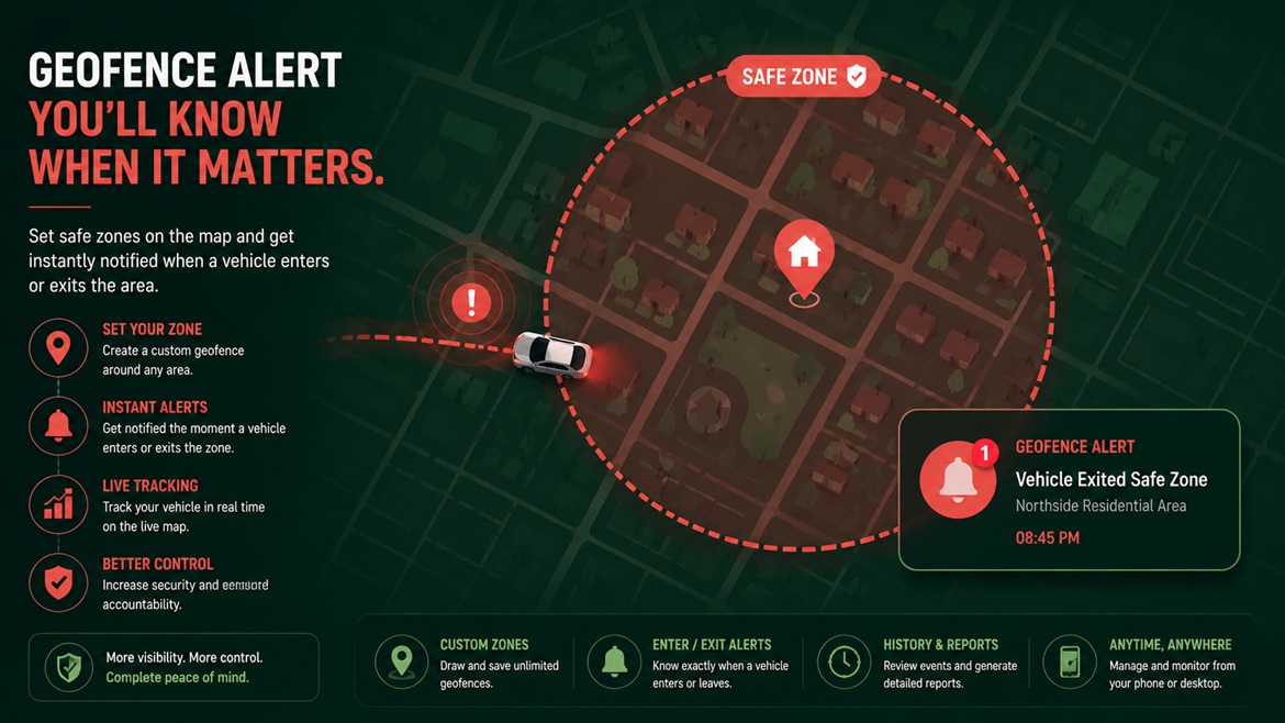
A geofence is a virtual boundary drawn on a map, tied to a specific tracked device. Rather than needing to check a tracker's location manually, geofencing flips the process around: you define an area, and the system automatically sends an alert the moment the device enters or exits that boundary. It's the difference between actively watching a map and having the system watch it for you, only notifying you when something actually changes.
Technically, this works by continuously comparing the tracker's reported GPS coordinates against the boundary you've defined. Most modern tracking apps let you draw this boundary directly on a map — often as a circle around a point, though some platforms support more complex custom shapes for irregular areas like an entire neighborhood or a specific commercial zone.
🎯 Common Geofencing Use Cases
Home / Parking Boundary
Get an alert if a vehicle leaves its usual parking spot outside expected hours — a strong early theft indicator.
Delivery / Work Zone
Confirm a delivery or fleet vehicle stays within its assigned working area throughout a shift.
Family Safety Boundary
Get notified if a teen driver travels outside an agreed area, like beyond the city or past a curfew boundary.
Rental / Cross-Border Limit
Rental companies enforce agreed usage boundaries and catch unauthorized long-distance trips immediately.
🛠️ Setting Up a Geofence Step by Step
📊 Choosing the Right Geofence Size
| Use Case | Recommended Approach |
|---|---|
| Home anti-theft alert | Small, tight radius directly around the usual parking spot |
| Delivery/work zone | Wide enough to cover the full working area without triggering constant false alerts |
| Teen driver boundary | City-wide or regional boundary reflecting agreed driving limits |
| Rental cross-border limit | Matches the specific rental agreement's permitted country or region |
🔔 Understanding Alert Types
🚫 Common Geofencing Mistakes
Generates excessive false alerts until the feature gets ignored or turned off entirely.
Discovering a misconfigured geofence only during an actual emergency is far too late.
A new regular delivery route or changed work schedule should prompt a geofence review.
Too many notifications trains people to dismiss them without reading — tune sensitivity to avoid this.
🏢 Geofencing for Fleets and Businesses
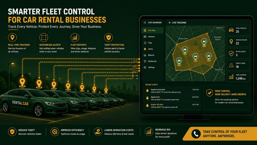
For fleet operators, geofencing scales well beyond a single boundary — many platforms support dozens or hundreds of zones simultaneously, applied across an entire fleet at once. This is particularly useful for delivery businesses confirming vehicles stay within assigned service areas, or rental companies enforcing agreed usage terms across every vehicle in their fleet without needing to check each one manually throughout the day.
A practical approach for larger fleets is to start with a small number of high-priority zones — such as the depot boundary and one or two key delivery regions — rather than attempting to configure dozens of precise zones on day one. Expanding the geofencing setup gradually, based on which alerts prove genuinely useful in practice, tends to produce a more effective system than an overly complex setup built entirely upfront before you have real usage data to guide it.
❓ Frequently Asked Questions
Does geofencing work without a data connection?
No — geofence alerts depend on the tracker's real-time cellular connection to compare its current location against the defined boundary and send a notification. If the device loses signal, the geofence check simply can't run until connectivity returns, which is worth keeping in mind for areas with unreliable coverage.
Can I set up multiple geofences for one tracker?
Most modern tracking platforms support multiple simultaneous geofences per device, letting you monitor several relevant areas — like both a home boundary and a workplace boundary — at the same time, each with its own independent alert settings.
Will geofencing drain the tracker's battery faster?
The comparison itself happens on the server side rather than requiring extra processing on the device, so geofencing generally doesn't meaningfully affect battery life beyond whatever the tracker's normal reporting frequency already uses.
🏜️ Geofencing in Regions With Signal Gaps
Across parts of the Gulf and Bangladesh where certain areas — remote desert routes, rural regions, or dense urban zones with weak coverage — can experience temporary signal loss, it's worth understanding how this interacts with geofencing specifically. Since alerts depend entirely on the tracker actively reporting its position, a boundary crossing that happens during a signal gap won't trigger a notification until the device reconnects and reports its updated location, which may already be well past the boundary by that point.
For use cases where this matters — long desert trips, deliveries into areas with known coverage gaps, or rural family safety monitoring — pairing geofencing with a device that supports offline logging helps close this gap somewhat, since the stored route data will still show exactly when and where the boundary was actually crossed once connectivity returns, even though the real-time alert itself was delayed. This won't provide the instant response of a live alert, but it does preserve an accurate record for review afterward, which is meaningfully better than no data at all.
Can I temporarily disable a geofence without deleting it?
Most tracking apps allow you to pause or deactivate a specific geofence without removing its saved boundary and settings entirely, which is useful for situations like a planned road trip outside the normal zone or a temporary schedule change. Reactivating it afterward typically takes just a moment, since the boundary itself remains saved in the background.
✅ Final Thoughts
Geofencing turns a GPS tracker from a device you have to actively check into one that actively tells you when something needs attention — but only if it's actually configured thoughtfully rather than left at default settings. Taking a few minutes to set boundary size, alert type, and scheduling to match your real use case is what separates a genuinely useful safety and security tool from a feature that's technically available but never quite gets used properly.
📍 Set Up Smart Alerts on Your Tracker
Explore GPS tracker models with flexible, easy-to-configure geofencing built for vehicles, fleets, and family safety.